10. March 2024
IDF completes road across Gaza, satellite images show
IDF completes road across Gaza, satellite images show
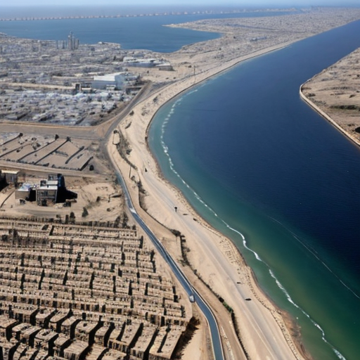
Satellite images show a new road running across northern Gaza from east to west. Some experts fear it will be used as a barrier, preventing Palestinians from returning to their homes. Others say it is part of an Israeli plan to remain in Gaza beyond the end of current hostilities. The new IDF route is the only one which runs uninterrupted across Gaza.
It starts at Gaza’s border fence with Israel near the Nahal Oz kibbutz. It also intersects with the Salah al-Din and al-Rashid roads, the two major arteries running through the territory. An Israeli TV channel reported on the route in February, saying it was code named “Highway 749. The road spans an area which previously had fewer buildings and was less densely populated than other parts of Gaza.
It also sits below a makeshift and winding route which the IDF had been using to move from east to west. Retired Brig Gen Jacob Nagel, former head of Israel’s National Security Council and a former security adviser to Mr Netanyahu, said the objective of the new route was to provide fast access for security forces when dealing with fresh threats. Maj Gen Yaakov Amidror, formerly of the IDF, had a similar view. Justin Crump, a former British Army officer who runs Sibylline, said the new route was significant.
The primary purpose of the new road was to “facilitate logistical and military control in the region, he said. Khaled Elgindy, a senior fellow at the US-based Middle East Institute, also thinks the road is a long-term project.